Getting Around Jupiter, FL: What Buyers Should Know in 2026
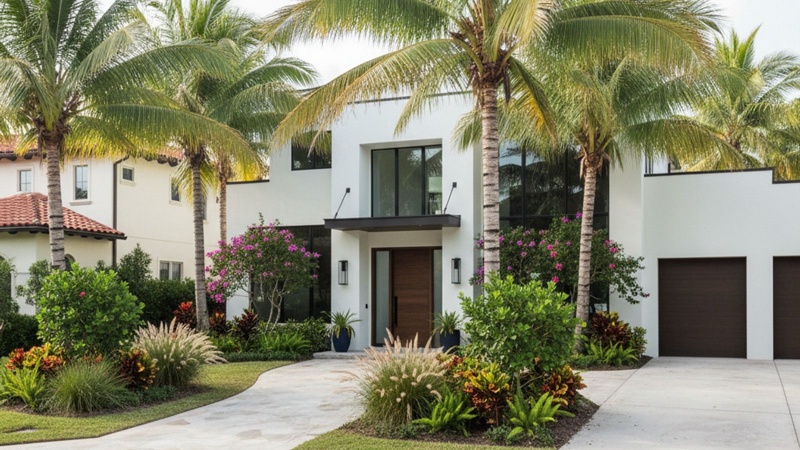
Jupiter, FL, sits at the northern edge of Palm Beach County, bounded by the Atlantic Ocean and the Loxahatchee River. The town covers roughly 23 square miles of coastal and inland territory. Getting around Jupiter, FL, primarily relies on a well-connected grid of local roads and major highways.
Commuting patterns here look different than in dense urban centers like Miami. Most residents rely on personal vehicles to reach daily necessities, employment hubs, and regional airports. Understanding the layout of US-1, Indiantown Road, and nearby transit stations helps buyers choose the right neighborhood for their daily routine.
Driving in Jupiter, FL: Major Highways and Commute Times
Indiantown Road serves as the primary east-west artery, running from the coastal Jupiter Inlet straight out to the rural western communities. This road intersects with both Interstate 95 and Florida's Turnpike. These two major highways handle the bulk of north-south commuter traffic toward Palm Beach Gardens and West Palm Beach.
West Palm Beach sits roughly 18 to 20 miles south of town. The drive down I-95 takes about 25 to 35 minutes on a typical weekday morning, depending on congestion. Residents heading to Palm Beach International Airport can expect a similar 25 to 30-minute trip.
Farther travel requires planning around seasonal traffic shifts. Reaching Fort Lauderdale–Hollywood International Airport generally takes about an hour via the Turnpike. Winter months often bring increased volume to these routes as seasonal residents return to South Florida.
Public Transit: Palm Tran and Regional Trains
Palm Tran Route 10 is the main public bus service operating within the town limits. This route runs along US-1, connecting local stops down to the Gardens Mall in Palm Beach Gardens. From there, riders can transfer to other routes covering Palm Beach County.
High-speed rail has changed regional travel for South Florida commuters. The Brightline train operates out of the West Palm Beach station, located at 260 Quadrille Plaza Drive. This station is about a 25-minute drive south and offers direct connections to Fort Lauderdale, Miami, and Orlando.
Daily commuters heading into Miami-Dade or Broward counties often use the Tri-Rail system. The closest Tri-Rail boarding points are the Mangonia Park and West Palm Beach stations. Uber, Lyft, and local taxi services frequently fill the gaps between residential neighborhoods and these regional transit hubs.
Walkability and Biking: Trails, Parks, and Harbourside Place
The Jupiter Riverwalk provides a 2.5-mile planned pedestrian and bicycle corridor along the Intracoastal Waterway. This paved path connects several marinas, parks, and commercial spaces. It allows residents to reach waterfront dining and local shops without starting a car.
Harbourside Place operates as a primary pedestrian-friendly center near the US-1 bridge. Visitors can walk between retail stores, restaurants, and public amphitheater events. The surrounding sidewalks connect directly to the broader Riverwalk system.
Cyclists use designated bike lanes along A1A to reach Juno Beach and Ocean Cay Park. Riding along the coast offers dedicated pathways separated from high-speed vehicle traffic. For longer mixed-mode trips, all Palm Tran buses feature front-mounted racks capable of holding two bicycles.
Getting to Medical Centers and Recreation
Jupiter Medical Center is located centrally off S Old Dixie Highway, just south of Indiantown Road. This positioning allows quick access from both the coastal barrier islands and the inland subdivisions. Emergency vehicles and residents primarily use US-1 or Military Trail to reach the campus.
Reaching the area's natural amenities involves short drives along the main thoroughfares. The Jupiter Inlet Lighthouse sits near the junction of US-1 and Beach Road, offering an easy trip for those living in the eastern neighborhoods. Inland, Riverbend Park and the Loxahatchee River are accessible via the western stretch of Indiantown Road.
Jonathan Dickinson State Park lies just north of the county line in Hobe Sound, FL. The drive up US-1 takes about 10 to 15 minutes from the center of town. Visitors use this route to access the park's camping, kayaking, and extensive off-road biking trails.
Frequently Asked Questions
Do you need a car to live in Jupiter, FL?
Most residents find a personal vehicle necessary for daily life. While certain pockets like Abacoa or Harbourside Place offer walkable retail, grocery runs and commuting generally require driving. Public buses exist, but route coverage does not extend into every residential subdivision.
How close is the nearest Brightline station?
The closest Brightline boarding point is the West Palm Beach station. It takes roughly 25 minutes to drive there via I-95 south. Once aboard, passengers can reach downtown Miami in about an hour and 20 minutes.
Is Jupiter Beach walkable from local neighborhoods?
Homes located east of US-1 or along A1A offer direct walking access to the sand. Neighborhoods further inland require a bike ride or a short drive to reach the public parking areas at Carlin Park or Ocean Cay Park. Sidewalks and crosswalks are maintained along the primary beach access roads.
Categories
Recent Posts


GET MORE INFORMATION